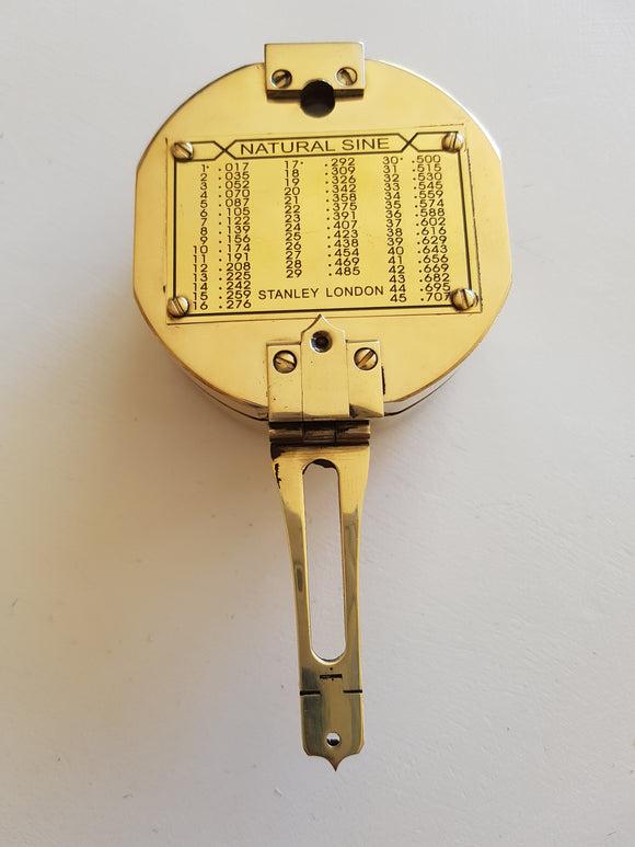


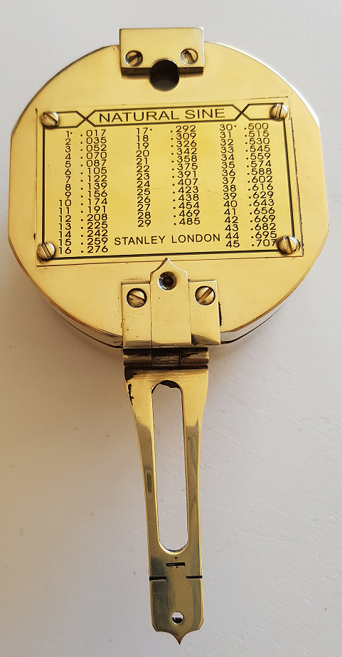
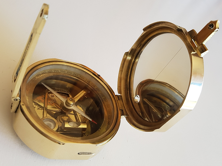
Polished Brunton Compass
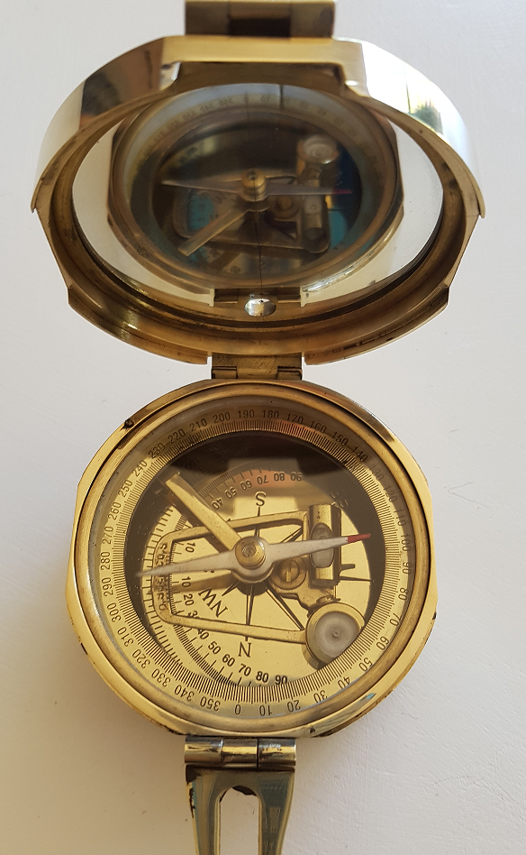
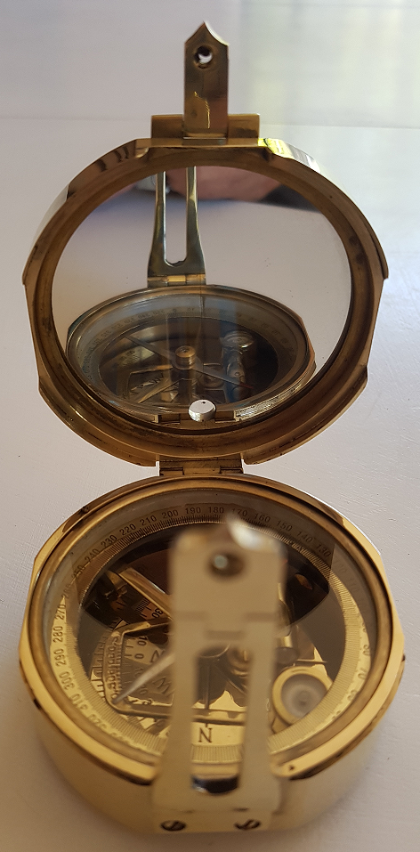
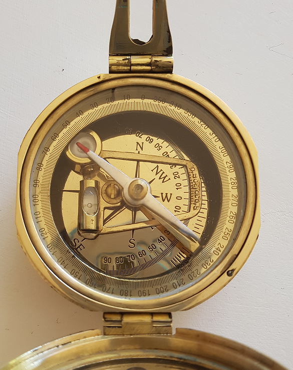
The (Brunton) Pocket Transit may be adjusted for declination angle according to one's location on the Earth. It is used to get directional degree measurements (azimuth) through use of the Earth's magnetic field. Holding the compass at waist-height, the user looks down into the mirror and lines up the target, needle, and guide line that is on the mirror. Once all three are lined up and the compass is level, the reading for that azimuth can be made. Arguably the most frequent use for the Brunton in the field is the calculation of the strike and dip of geological features (faults, contacts, foliation, sedimentary strata, etc.). If next to the feature, the strike is measured by leveling (with the bull's eye level) the compass along the plane being measured. Dip is taken by laying the side of the compass perpendicular to the strike measurement and rotating horizontal level until the bubble is stable and the reading has been made. If properly used and if field conditions allow, additional features of the compass allow users to measure such geological attributes from a distance.
As with most traditional compasses, directional measurements are made in reference to the Earth's magnetic field and will thus run into difficulties if in a region of locally abnormal magnetism. For example, if the user is near an outcrop that contains magnetite or some other iron-bearing material, compass readings can be affected anywhere from several inches from the outcrop to tens of yards away (depending on the strength of the magnetic field). Since they are measured only using a rotating level, dip measurements are unaffected by magnetic fields.
# note - not an original brunton, it is an accurate depiction that works for a fraction of the cost of an original